

ALTA Survey Little Rock
What is an ALTA Survey?
ALTA (American Land Title Association) surveys are comprehensive surveys conducted for commercial real estate transactions. They provide a detailed analysis of property boundaries, improvements, easements, encroachments, and other important elements affecting land ownership. These surveys were initially developed by the American Land Title Association in the mid-20th century to address inconsistencies in land surveys. In 2016, the ALTA survey standards were merged with the NSPS (National Society of Professional Surveyors) standards, resulting in the ALTA/NSPS survey standards.
ALTA surveys differ from regular boundary surveys in their level of detail and comprehensiveness. Two examples of such specifics are the identification of easements and encroachments, and the inclusion of zoning classification and restrictions. While regular boundary surveys primarily focus on defining property lines, These surveys adhere to a set of standards that ensure the surveyor conducts a thorough analysis, providing a higher level of confidence to the parties involved in a real estate transaction.
These surveys are employed by commercial real estate developers and investors to obtain detailed information about property boundaries, improvements, and potential issues. Lenders and financial institutions involved in commercial transactions rely on these surveys to assess property value and risks before providing financing. Title insurance companies utilize these surveys to ensure accurate property titles and minimize the risk of legal issues.
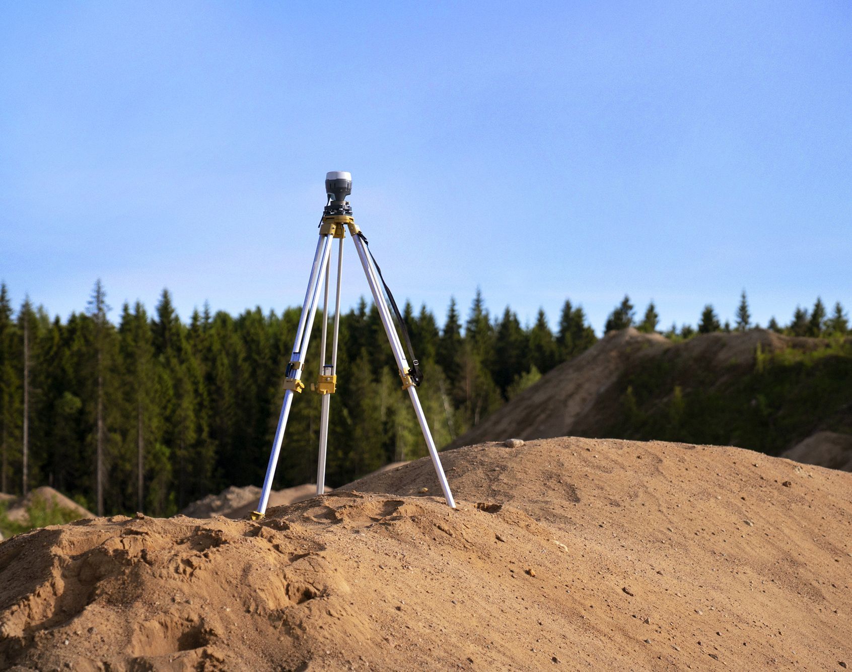
First Survey Little Rock is dedicated to providing accurate and reliable surveys. Our team consists of qualified and licensed surveyors in Little Rock, Arkansas. With our experience in conducting ALTA/NSPS surveys and state-of-the-art surveying equipment, we ensure the highest level of accuracy and efficiency in our surveys. Hiring a qualified surveyor is crucial for ALTA surveys due to their complexity and importance in commercial real estate transactions. Our surveyors possess the necessary expertise to conduct thorough analyses, identify potential issues or encroachments, and ensure accurate representation of land features, mitigating risks for all parties involved.

ALTA/NSPS Survey Requirements and Standards
The ALTA/NSPS standards serve as a consistent framework for conducting comprehensive land surveys in commercial real estate transactions. They were jointly developed by the American Land Title Association (ALTA) and the National Society of Professional Surveyors (NSPS). These standards encompass various key components, including boundary determination, identification of improvements, analysis of easements and encroachments, depiction of survey data on a plat, and adherence to specific requirements outlined in Table A.
Compliance with the Table A items is crucial to meet specific survey requirements. Table A offers a comprehensive list such as environmental considerations, zoning and land use, access and right of way, flood zone determination, utility connections, historical research. This guarantees that the survey includes all pertinent information and offers accurate and trustworthy data.
The level of information and accuracy necessary for the survey is determined by the classification, with Class A being the most thorough. ALTA surveys are divided into multiple levels, such as Class A, Class B, and Class C. According to the needs of the customer, the complexity of the property, and the planned use of the survey, the right level of survey classification is chosen.
Numerous factors can have an impact on the timeliness of an ALTA/NSPS survey. These variables include the size of the property, its location, the accessibility of documents, the state of the weather, and the surveyor's workload. In order to secure the timely completion of the survey and allow all parties engaged in the real estate transaction to go forward smoothly and achieve their deadlines, proper planning and coordination are important.
Key Discretionary Items in ALTA Surveys
Monuments play a crucial role in land surveys as they serve as physical markers or reference points for establishing and locating property boundaries. Whether existing markers or newly set by the surveyor, monuments such as stone pillars, metal stakes, or concrete markers are essential for maintaining the integrity and accuracy of surveys. They provide reliable reference points for future surveys and help resolve property boundary disputes.
In terms of flood zone classification, it is vital to determine the risk of flooding associated with a property and obtain appropriate flood insurance coverage. ALTA surveys may include information regarding the property's flood zone classification, enabling property owners and lenders to make informed decisions regarding flood insurance requirements and assess potential flood-related risks.
The gross land area, which encompasses both developed and undeveloped land, holds significance in new construction projects. It aids in determining the available space for building and development, influencing design considerations, site planning, and ensuring compliance with zoning regulations.
Understanding zoning regulations is crucial for new construction projects. ALTA surveys may provide zoning information such as zoning classification, setbacks, and restrictions. Comprehending these requirements helps ensure compliance with local regulations, optimizes land utilization, and mitigates potential legal issues.

Substantial features, including buildings, structures, or natural landmarks, have a considerable impact on a property's value. ALTA surveys may identify and locate these features, providing valuable information for property valuation and facilitating real estate transactions.
Additionally, ALTA surveys often include the location of utilities such as water, sewer, electricity, gas, and telecommunications. Knowing the precise location of utilities is essential for proper planning, connection, and compliance with utility service requirements in new construction projects. Outside of ALTA ___ we also offer plumbing layouts for buildings that may be completed but need a map of pipes inside foundations or floors. Read more about that unique service
here or give us a
call today discuss.

Surveying Commercial Real Estate: Importance and Considerations
ALTA surveys play a crucial role in commercial real estate (CRE) transactions. As stated above, they are able to provide a comprehensive analysis of property boundaries, improvements, encroachments, and easements for the necessary parties in these transactions. ALTA surveys ensure accurate representation of the property, giving confidence to buyers, sellers, and lenders. Conducting ALTA surveys for commercial properties offers several benefits. It helps identify potential issues or discrepancies, ensuring transparency and reducing the risk of future disputes.
ALTA surveys provide valuable information for educated decision-making, facilitating smoother transactions and mitigating financial liabilities. Compliance with commercial zoning and land use regulations is vital. ALTA surveys address zoning classifications, setbacks, and restrictions, ensuring adherence to local regulations. This compliance prevents legal complications, maximizes land utilization, and supports successful development projects.
Our ALTA Survey Services include comprehensive site analysis and research to gather relevant data. We conduct boundary surveys to establish property lines accurately. Additionally, we identify encroachments, easements, and rights-of-way, ensuring a comprehensive understanding of the property's characteristics. If you're in need of any of these services, please give us a call today at 501-799-7581.